location
1km NW of Spences Bridge; 3.5 hours from Vancouver; 1.25 hrs from Westhaven's operational base in Merritt
Stage
Exploration
Size
6,167 Hectare
Mineralization
Highly Anomalous Stream Silt and Soil Geochemistry
Grades
Gold-in-silt results of 1,720 ppb, 992 ppb, and 908 ppb
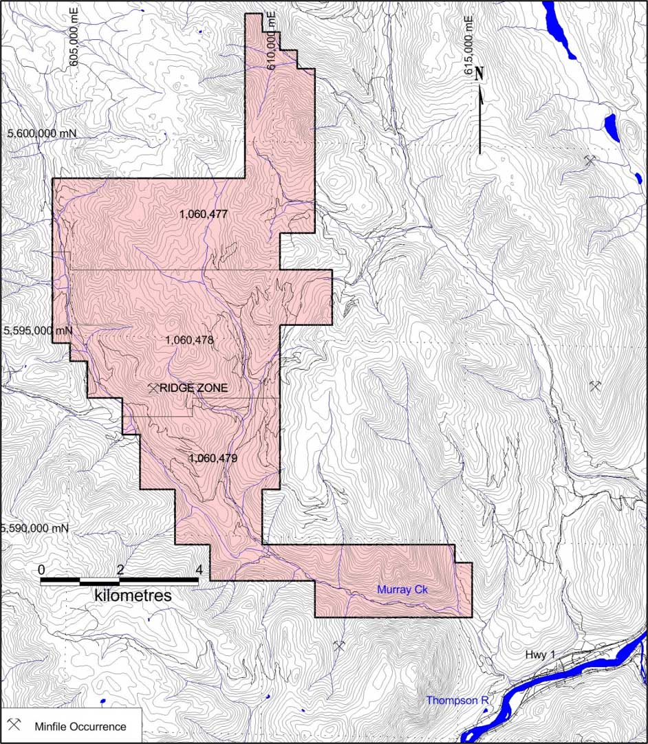
Skoonka North claim locations and showings
Overview
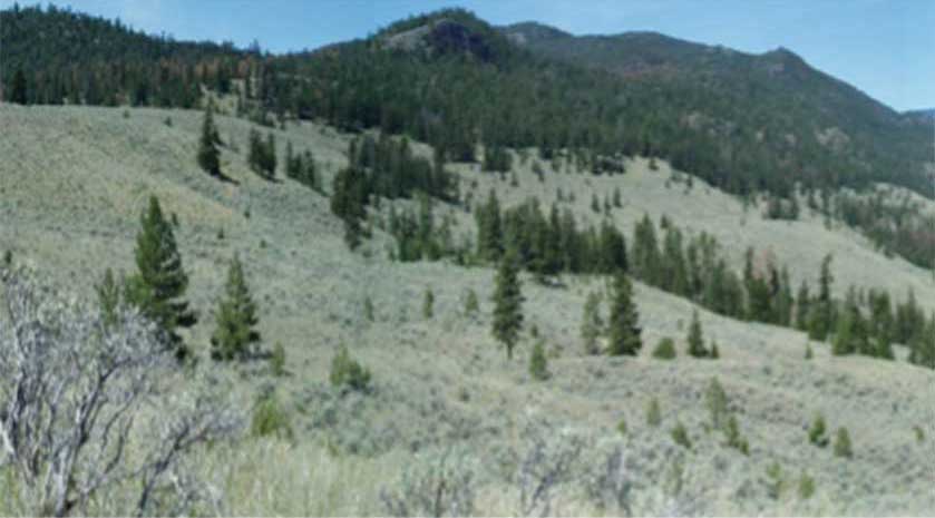
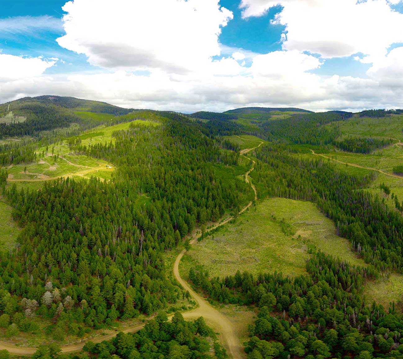
Skoonka North is a 6,167‑hectare property located approximately 1km northwest of Spences Bridge, British Columbia, within the northern portion of the Spences Bridge Gold Belt.
The property is easily accessible by road, situated approximately a 3.5‑hour drive from Vancouver. Primary access from the nearby community of Spences Bridge is via the Murray Creek Forestry Service Road (FSR), which connects to Highway 1 west of the Thompson River.
Additional access is available via the Laluwissin FSR, extending from Highway 12 north of Lytton.The property covers two primary drainages hosting highly anomalous stream silt geochemistry. Gold-in-silt results of 1,720 ppb, 992 ppb, and 908 ppb are among the highest recorded anywhere on the SBGB, including the top stream silt results from the Shovelnose property, approximately 100km to the southeast. To date, Skoonka North has seen limited exploration and has never been drill tested, making it one of the most compelling untested opportunities within the SBGB.
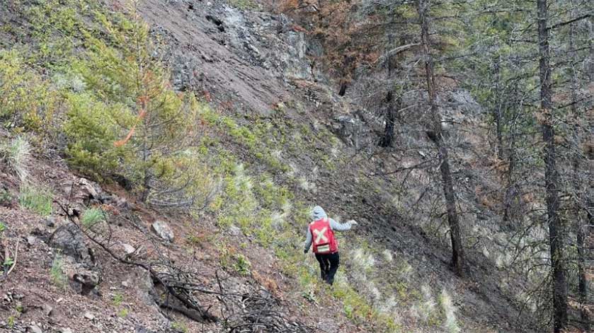
Westhaven has advanced the property during the 2024 and 2025 field seasons with infill stream sediment sampling, soil sampling, and prospecting programs, with the goal of defining priority targets for future drilling.
Geology
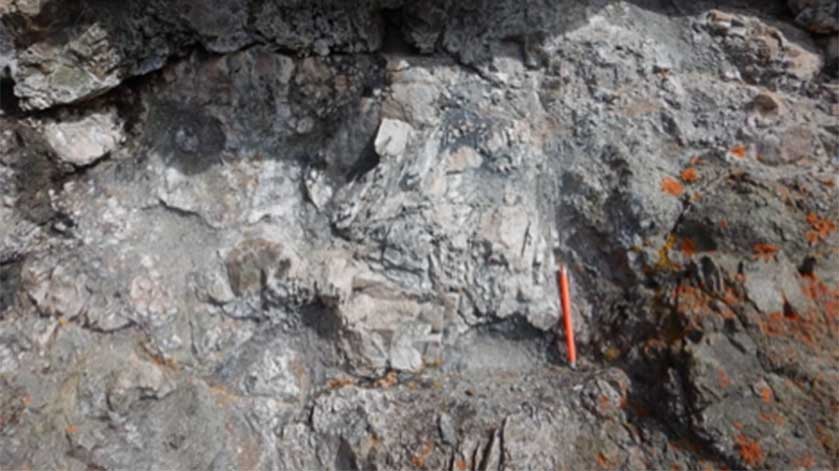
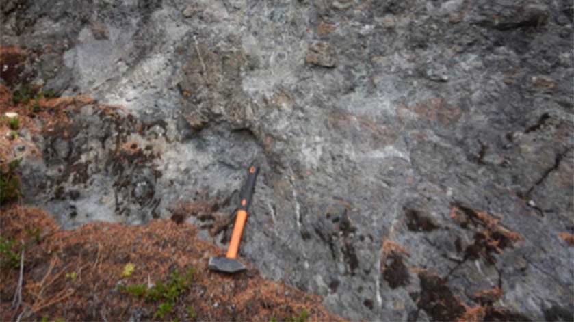
The property is wholly underlain by Pimainus Formation rocks of the Spences Bridge Group that can be divided into two unique layered domains; a coherent flow-dominated stratigraphy to the west and an andesite tuff dominated stratigraphy to the east and south. Overprinting the stratified units on smaller scales are intrusive domains including at least two suites of mafic dykes, and two areas of highly variable felsic intrusions. These units are the same host rocks associated with epithermal gold mineralization across the SBGB.
Key features include:
- Strong northeast trending magnetic anomalies extending up to 2km, identified through 2018 airborne surveys
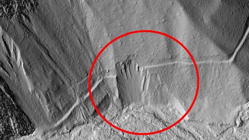
- Structural features identified by 2022 LiDAR survey consistent with fluid migration and gold deposition
- Multi-element pathfinder halos in stream sediment, soil, and rock samples
- Two historical mineralized gold showings: Ridge (up to 2.01 grams/ton gold) and Ridge North - mineralization associated with veining and alteration indicative of low sulphidation epithermal systems
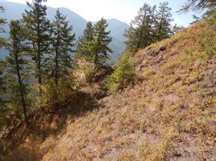
- Improved bedrock exposure following 2024 wildfires, with field investigation ongoing
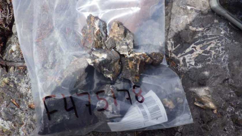
- Surface sampling results to date have been exceptional: gold-in-silt values of 1,720 ppb, 992 ppb, and 908 ppb among the highest recorded on the SBGB
- Results consistently support the presence of undiscovered gold-silver mineralization
Drilling Highlights
Skoonka North has not yet been drill tested.
Westhaven is evaluating priority targets in preparation for first-ever drilling at this property.